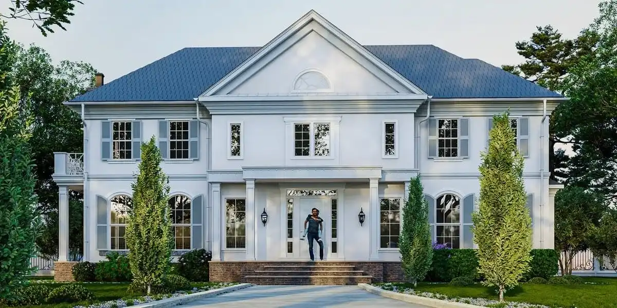
Layouts, elevations, 3D renders, and presentation packages.
Interior DesignersClient-ready 3D visuals, drawings, and FF&E documentation.
Architects & Architecture FirmsRevit, CAD, and construction documentation at LOD 300 to 400.
Design-Build CompaniesProduction support from design development through documentation.
Custom Home BuildersPlans, documentation, and visualization built around your workflow.
General ContractorsCoordination drawings and production support that keep projects moving.
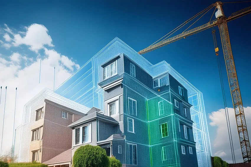
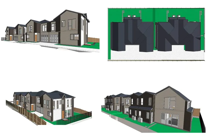
Comprehensive, end-to-end production support tailored to your project requirements and quality standards.
Registration, cleanup, and optimization of raw point cloud data from any 3D laser scanner (Leica, Faro, Matterport).
Creation of accurate Revit as-built models from point cloud data — walls, floors, ceilings, structural elements, and MEP.
Precise digital documentation of historic structures for conservation, restoration, and adaptive reuse projects.
If 3D isn't required, we can <a href="/services/point-cloud-to-cad/" class="cb-link">convert point clouds to 2D CAD</a> plans and elevations.
Existing conditions models that serve as the foundation for renovation design — detecting conflicts and site constraints before design begins.
LOD 300–400 as-built models with asset data for owner facility management and operations handover.
Point cloud overlay verification of finished models against scan data to confirm accuracy within specified tolerances.
Tell us what you need and our team will get back to you within 24 hours. Request pricing, a sample, or both.
From brief to delivery — a seamless, transparent workflow that integrates into your existing systems.
Scan to BIM is the process of using 3D laser scanning technology to capture the physical conditions of a space as a 'point cloud', and then using that data to construct a highly accurate 3D BIM model in Revit.
We prefer Autodesk Recap files (.RCP, .RCS), but can also process raw scan formats like .E57, .LAS, and .PTS.
Our model accuracy depends on the quality of the scan data provided and the requested tolerance levels. We typically model elements to within 10mm to 15mm of the point cloud data.
Yes, we can model all visible mechanical, electrical, and plumbing pipes and ducts captured by the laser scanner.
No, we act as your backend production team. You or a third-party surveyor perform the on-site laser scan, and we handle the technical conversion of that data into a Revit model.
Send us your project brief and receive a detailed, fixed-price quote within 24 hours.